The Simonside Hills

A Step-By-Step Walking Guide
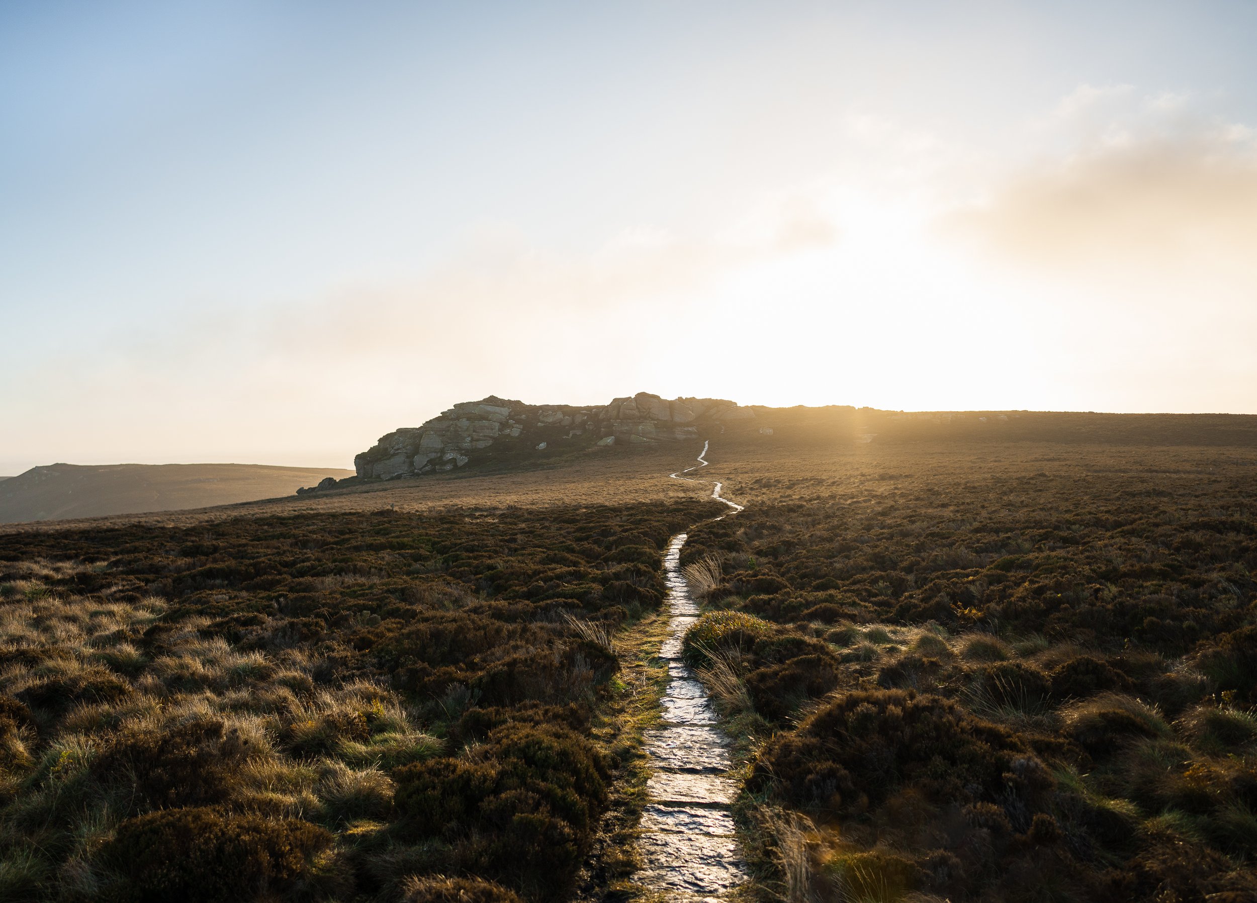
Navigate through conifer forests and across heather moorland to summit the most distinctive hills in the Northumberland National Park. From the top of Simonside’s craggy ridge, you’re rewarded with 360-degree views encompassing the rolling humps of the Cheviot Hills and miles of pristine countryside stretching to the North Sea.
Start/Finish: Forestry Commission’s Simonside car park
///: hunches.impeached.followers
Grid Reference: NZ 037 997
Distance: 6.2 miles (10 km)
Total Ascent: 419 m (1,375 ft)
Difficulty: Moderate
Duration: Allow 3 hours
Terrain: Forest tracks, moorland paths (including long sections that are paved or pitched)
OS Map: OS Explorer OL 42 Kielder Water & Forest

1. Facing the information board in the main car park, take the path on the right.
2. Walk past a barrier and follow the Forestry Commission’s red waymarks (these will act as a guide for the first 2.4 km of your ramble).
3. Turn right at a junction close to a tall mast obscured by trees.
4. The path undulates through the forest before reaching another junction. Go left here.
5. Cresting a rise, look for a narrow path on your left, beside an area that has been felled of trees. Follow a faint unmarked path to reach Little Church Rock, a monolithic outcrop of sandstone. It’s approximately 300 m there and back.

6. After exploring Little Church Rock, retrace your steps back and join the forest path. Continue along the path as it heads gently downhill past the felled area
7. Just before the two large boulders on the forest path, take the trail on the left that heads uphill.
8. Look out for the large flat stone on the ground known as criss cross rock. It is cut with curved grooves, which may be prehistoric rock art, or may have been created by medieval carters and drovers to make the track less slippery for their cattle.
9. Carry on up the footpath and through a narrow gully. At the junction, take the left-hand path up and over the heather moorland to meet the red gravel forest road.
10. Go right at the red gravel forest road.
11. Follow the waymarked path leaving on the left, which continues to gain height across open heather moorland towards the imposing rocky face of Simonside.
12. Follow the footpath steeply up the crags.
13. At the top of the crags, turn left along the flagged path and head for the stone cairn on your left. This marks the summit of Simonside, where you can enjoy truly spectacular views.
14. Follow the path from the summit over the moorland and through a rocky outcrop.
15. Continue along the path for a distance and then head down the stone steps of the Old Stell Crag rock outcrop.
16. The next peak is Dove Crag, topped by a burial cairn. On the descent from Dove Crag, part company with your red waymarks and follow the path down to a gate and continue to the final peak on the ridge – the Beacon.
17. As you descend the eastern side of the Beacon, the Lordenshaw Hillfort is visible to the north-east.
18. Bear left at a waymarked fork to drop back onto the road.
19. Walk to the other side of Lordenshaw car park and join a clear path through the grass which leads you to one of the finest examples of prehistoric rock art you’ll find in Northumberland.
20. Having explored the Lordenshaw Hillfort, return to the car park, turn right along the road, and follow it back along to the Simonside Forestry Commission car park, which will be on your left.

As featured in This Is Northumberland 2022
Photography by Joe Taylor